Cel i lokalizacjaGoal & location
Ustalamy, co chcesz sprawdzić i jakich materiałów potrzebujesz.We agree what you need to inspect and which deliverables you need.

Drone AiQ / inspekcje z powietrzaDrone AiQ / aerial inspections
Inspekcje wizyjne i termowizyjne dachów, fotowoltaiki i infrastruktury. Zdjęcia, obserwacje i raporty, które pomagają zaplanować dalsze działania.Visual and thermal inspections of roofs, solar installations and infrastructure. Photos, observations and reports to help plan your next steps.
Wielu zadowolonych klientów. Każde zlecenie zaczynamy od ustalenia Twoich potrzeb.Many satisfied customers. Every job starts with understanding your needs.
Wybierz swój obiektChoose your site
Od pojedynczego dachu po przegląd infrastruktury. Zaczynamy od celu badania, a następnie dobieramy sposób zbierania danych.From a single roof to an infrastructure survey. We start with your inspection goal, then choose how to collect the data.
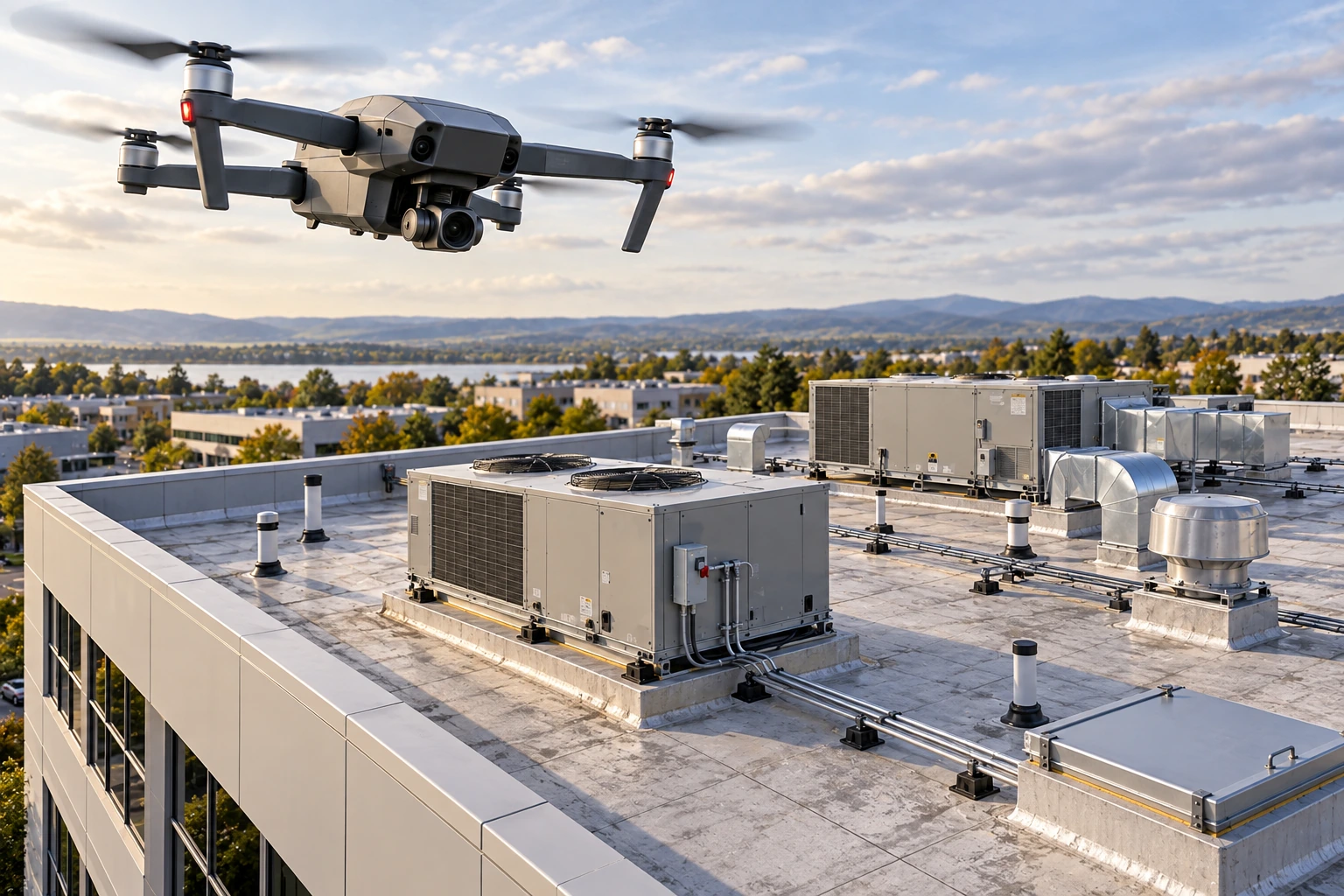
Obejrzyj trudno dostępne miejsca bez wchodzenia na dach. Dokumentujemy pokrycie, obróbki, rynny i widoczne uszkodzenia, a termowizję dobieramy do celu badania i warunków.Inspect hard-to-reach areas without going onto the roof. We document roof coverings, flashing, gutters and visible damage, with thermal imaging selected to suit the inspection and conditions.
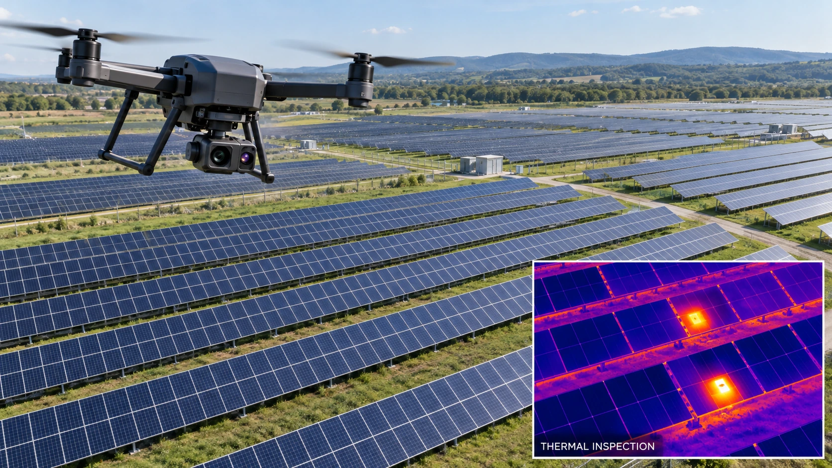
Zobacz zakresView scope ↗Sprawdź, które moduły wymagają uwagi. Łączymy zdjęcia wizyjne i radiometryczne termogramy, aby wskazać hot spoty oraz inne anomalie temperaturowe na instalacji.Identify modules that need attention. We combine visual photos and radiometric thermal images to locate hot spots and other temperature anomalies across your installation.
Zobacz zakresView scope ↗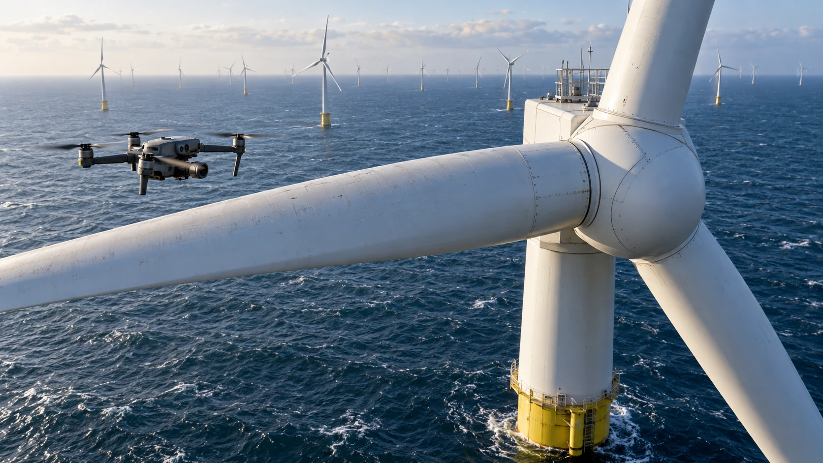
Dokumentacja widocznych uszkodzeń łopat, wieży i gondoli. Ujęcia z kilku perspektyw pomagają zaplanować dalszy przegląd oraz porównać stan turbiny w czasie.Document visible damage to blades, towers and nacelles. Images from several angles help plan further inspection and compare a turbine’s condition over time.
Zobacz zakresView scope ↗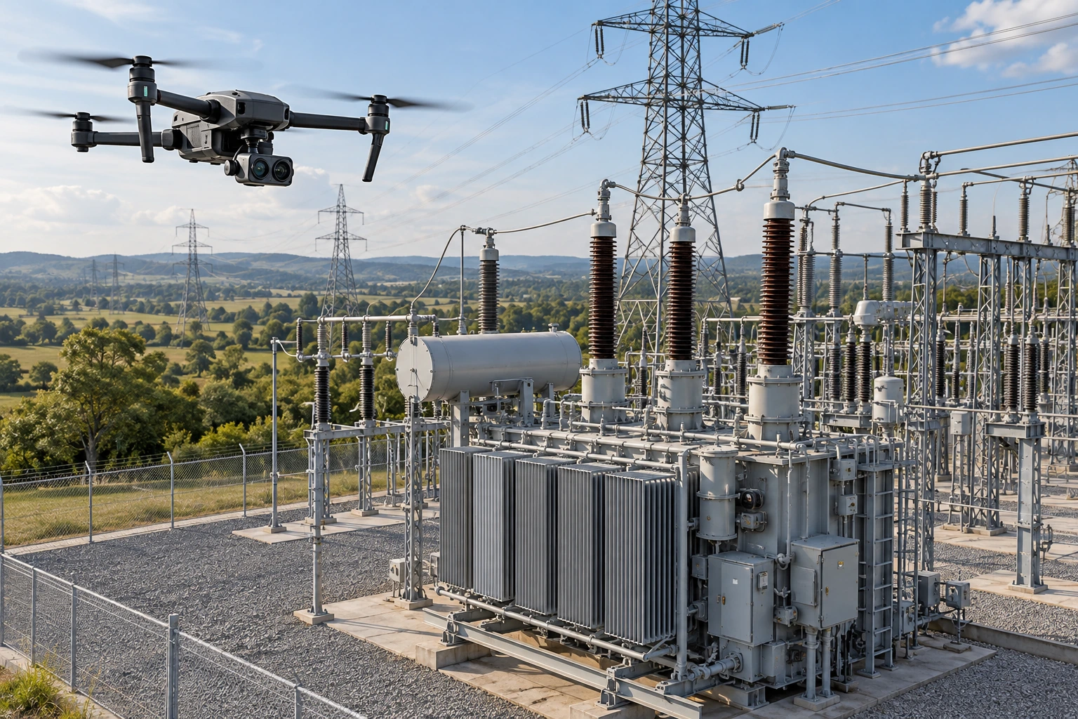
Zdjęcia słupów, izolatorów i widocznych połączeń oraz termogramy dostępnych elementów. Pomagamy wskazać miejsca wymagające kontroli przez operatora sieci.Photos of poles, insulators and visible connections, with thermal images of accessible components. We help identify areas for the network operator to investigate.
Zobacz zakresView scope ↗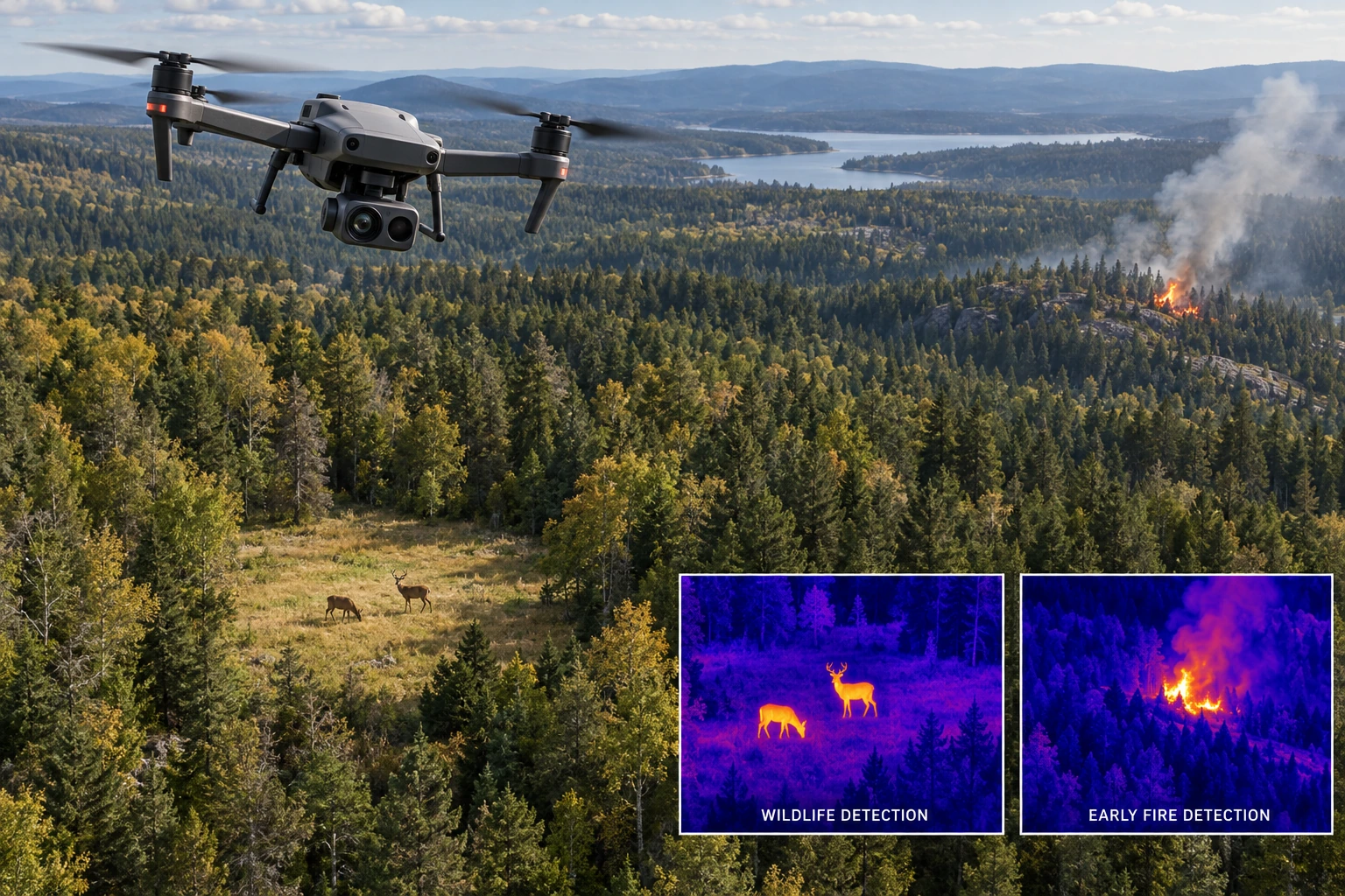
Dokumentacja zmian pokrycia terenu, szkód po wichurach i widocznych ognisk cieplnych. Materiały z lotu wspierają ocenę sytuacji i planowanie kontroli terenowej.Document changes in land cover, storm damage and visible heat sources. Aerial material supports situational assessment and planning of ground checks.
Zobacz zakresView scope ↗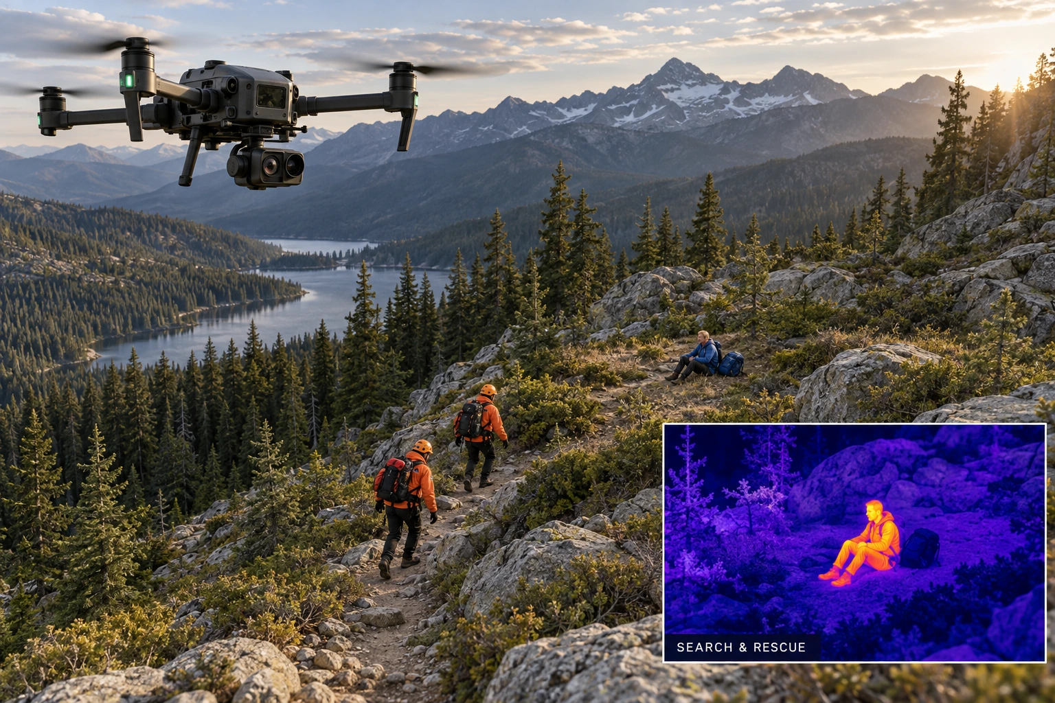
Obraz wizyjny i termowizyjny pomaga przeglądać dostępne sektory terenu i wskazywać miejsca do sprawdzenia przez zespoły naziemne. Zakres i dostępność ustalamy indywidualnie.Visual and thermal imaging helps survey accessible terrain sectors and identify places for ground teams to check. Scope and availability are agreed individually.
Zobacz zakresView scope ↗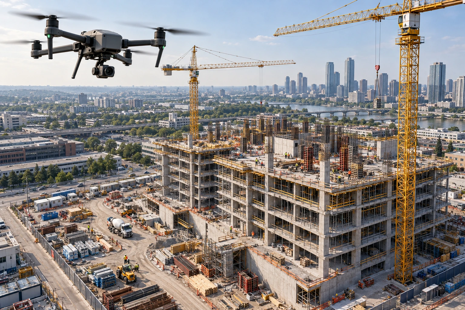
Pokaż postęp prac w czytelny sposób. Zdjęcia z powietrza i powtarzalne punkty ujęć ułatwiają porównanie etapów inwestycji oraz komunikację z wykonawcami i inwestorem.Make construction progress easier to understand. Aerial photos and repeatable viewpoints help compare project stages and communicate with contractors and investors.
Zobacz zakresView scope ↗Krok po krokuStep by step
Ustalamy, co chcesz sprawdzić i jakich materiałów potrzebujesz.We agree what you need to inspect and which deliverables you need.
Dobieramy warunki pomiaru, sprawdzamy ograniczenia i organizujemy lot.We select measurement conditions, check restrictions and organise the flight.
Przeglądamy zdjęcia i termogramy oraz opisujemy obserwacje.We review photos and thermal images and explain the observations.
Przekazujemy uzgodnione materiały i omawiamy miejsca wymagające uwagi.We deliver the agreed material and discuss areas that need attention.
Sprzęt i pomiarEquipment & measurement
Łączymy zdjęcia wizyjne z radiometrycznym obrazem termicznym. O wyniku decydują także odległość od obiektu, pogoda i sposób wykonania pomiaru.We combine visual photos with radiometric thermal images. Distance, weather and measurement technique also affect the result.
Oficjalna specyfikacja DJIOfficial DJI specifications ↗Zacznij od rozmowyStart with a conversation
Podaj lokalizację i cel inspekcji. Uzgodnimy zakres, warunki lotu i termin przekazania materiałów.Tell us the location and inspection goal. We’ll agree the scope, flight arrangements and delivery date.